


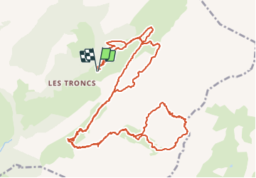

12.7 km | 23 km-effort


User


FREE GPS app for hiking
 SityTrail
IGN / Geographical institutes
SityTrail World
The world is yours!
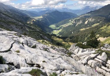
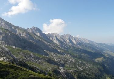
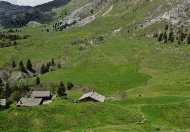
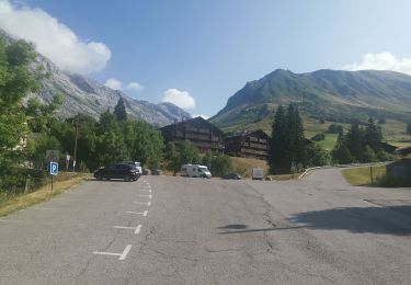
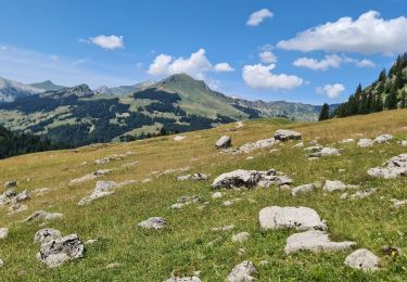
Trail Walking of 19.3 km to be discovered at Auvergne-Rhône-Alpes, Upper Savoy, Le Grand-Bornand. This trail is proposed by aldohlys.
Walking
On foot

Walking

Walking

Snowshoes

Walking
Walking
Walking
Walking
Merci pour la trace. Très belle randonnée.